Maps
Map of the Springfield Arsenal, 1801
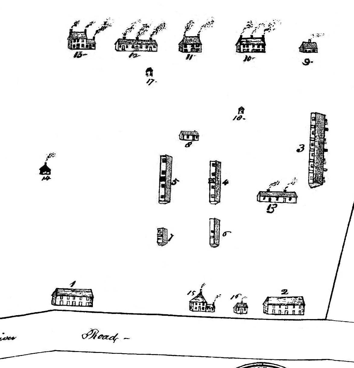
Courtesy Springfield Armory National Historic Site, US NPS, Springfield, MA
About this map
This copy of a map detail is all that is known to survive from an earlier, original map that is now lost. It depicts the buildings and layout of the United States Arsenal in about 1801. It is the earliest known surviving representation of the Arsenal established during the American Revolution at Springfield, Massachusetts, in 1778. The fragment shows the arrangement of buildings that would have been present at the Arsenal in 1787 when Captain Daniel Shays led about 1,400 Massachusetts Regulators in an unsuccessful attempt to take possession of the barracks and stores.
| Print | Top of Page