Maps
Massachusetts in 1795 by Samuel Lewis
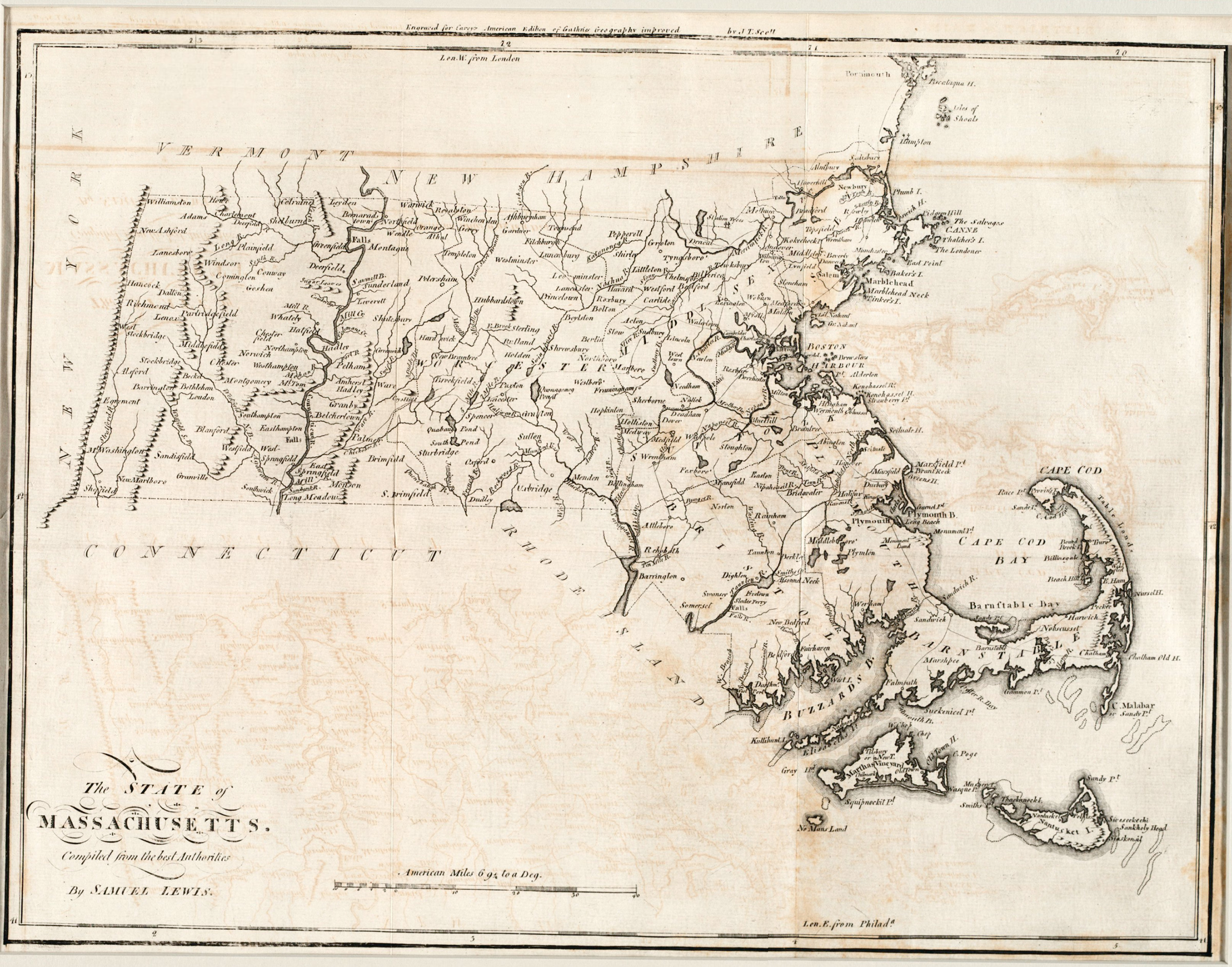
Courtesy Boston Public Library, Boston, MA Norman B. Leventhal Map Center
About this map
The need expressed by the new Massachusetts government in 1791 for an official, up-to-date state map was not met until Samuel Osgood created the first official state map in 1801. In the meantime, those interested in a detailed, current map identifying Massachusetts towns and waterways could turn to this work by Samuel Lewis. “Compiled by the best authorities,” an engraving of Lewis’ map appeared in Matthew Carey’s General Atlas published in tandem with an American edition of Guthrie’s Geography Improved published in Philadelphia in 1795.
| Print | Top of Page